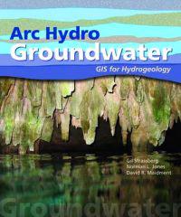
ARC Hydro Groundwater (Pocket)
avGil Strassberg, Norman L. Jones, David R. Maidment
ISBN: 9781589481985 - UTGIVEN: 2011-02"Arc Hydro Groundwater: GIS for Hydrogeology "describes the groundwater data model, a new geodatabase design for representing groundwater systems using ArcGIS software. The groundwater data model shares a common framework with the surface water data model, Arc Hydro. Examples illustrating concepts a[...]


