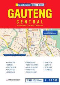
Street Guide Gauteng Central (Häftad)
avMapStudio
ISBN: 9781770260047 - UTGIVEN: 200812Contains detailed easy-to read street maps with enlarged city centre; comprehensive key plans throughout; detailed maps showing freeway exit boards; perfect coverage of all city regions; includes smaller towns with separate indexes; Index of place names suburb boundaries full legend, scaledirectio[...]
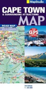
Road Map Cape TownSurrounds (Karta, falsad.)
avMapStudio
ISBN: 9781770261075 - UTGIVEN: 2009-11Detailed map at 1 : 325 000 scale South Western Cape, OverbergWinelands; detailed map for scenic drives of the region; index of place namesbig 6 attractions; index of wine estates.[...]
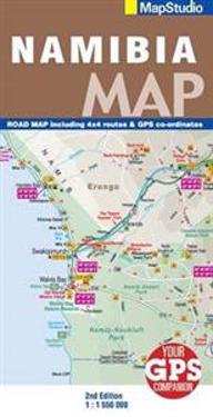
Road Map Namibia (Karta, falsad.)
avMapStudio
ISBN: 9781770261334 - UTGIVEN: 2009-10Detailed road map of Namibia at 1 : 550 000; information boxes on all parks in Namibia; useful contact details; index of all towns on map.[...]
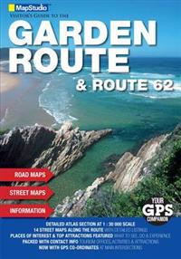
Visitor's Guide Garden RouteRoute 62 (Häftad)
avMapStudio
ISBN: 9781770261860 - UTGIVEN: 2010-04This edition includes GPS co-ordinates along with a route planner that details points of interest and activity areas, major sites and how to reach them, detailed resource section, extra detail on sites to visit along the way, cross-referenced to other applicable products focusing on major sites with[...]
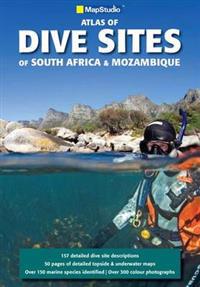
Atlas of Dive Sites of South AfricaMozambique (Häftad)
avMapStudio
ISBN: 9781770262287 - UTGIVEN: 2010-11Written by renowned author and diver Fiona McIntosh, Dive Sites of South AfricaMozambique is a comprehensive atlas and guide to some of the top dive spots in Southern Africa.[...]
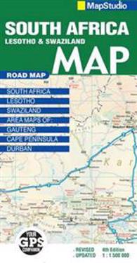
Road Map South Africa (Karta, falsad.)
avMapStudio
ISBN: 9781770262881 - UTGIVEN: 2011-06This new edition updated road map includes major and minor routes with route markers, tourist regions and has an index to place names.[...]
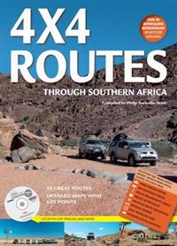
4x4 Routes Through Southern Africa (Okänt format)
avMapStudio
ISBN: 9781770262904 - UTGIVEN: 2011-084x4 Routes through Southern Africa' takes a detailed look at 20 great 4x4 routes across Southern Africa from the popular Cederberg and Richtersveld regions of South Africa to the Namib Desert in Namibia and East to Lesotho and Mozambique, even as far afield as Tanzania.[...]
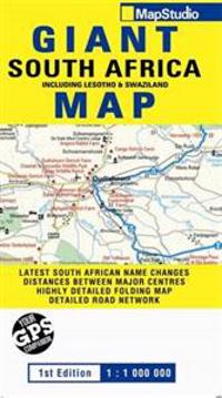
Road Map Giant South Africa (Karta, falsad.)
avMapStudio
ISBN: 9781770263284 - UTGIVEN: 2012-04Detailed road map of South Africa at a 1:1 000 000 scale showing national parks and reserves, oceans, rivers, dams, places of interest, caravan parks, camp sites, route markers, railway stations and border posts.[...]
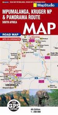
Road Map Mpumalanga Kruger National ParkPanorama Route (Karta, falsad.)
avMapStudio
ISBN: 9781770263673 - UTGIVEN: 201206Detailed streetmaps and site maps with text and photography of Pilgrims Rest, Lydenburg, Dullstroom, Belfast, Machadadorp, Sudwala Caves, Sabie, Waterval-Boven, Hazyview, Nelspruit, Barberton, Blyde River Canyon, Kruger National Park, including the Limpopo Park.[...]
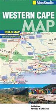
Western Cape Road Map (Karta, falsad.)
avMapStudio
ISBN: 9781770265530 - UTGIVEN: 2014-03This new edition road map covers the whole of the Western Cape. It features easy-to-read full colour maps with GPS co-ordinates. The map provides tourist-friendly text, highlights places of interest and lists accommodation information.[...]
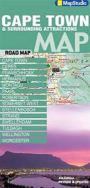
Cape TownSurrounding Attractions Road Map (Karta, falsad.)
avMapStudio
ISBN: 9781770265738 - UTGIVEN: 2014-03This detailed map of South Western Cape, Overberg and Winelands is at a 1:325 000 scale. Coverage includes Cape Town, west coast, cape Winelands, Stellenbosch, Franschhoek, Paarl, Wellington, Robertson, Hermanus, Breede River Valley, Overberg, Route 43, Boland, Hex River Valley, Swartland, whale rou[...]
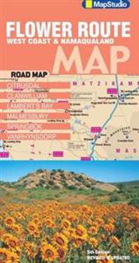
Flower Route West CoastNamaqualand Road Map (Karta, falsad.)
avMapStudio
ISBN: 9781770265844 - UTGIVEN: 2014-03

