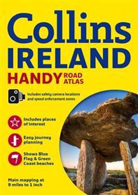
Ireland Road Atlas (Häftad)
avCollins Maps
ISBN: 9780007541294 - UTGIVEN: 2014-03Handy A4 road atlas of the whole of Ireland featuring clear and detailed colour mapping at a scale of 5.2 miles to 1 inch. Perfect for both residents and visitors to Ireland. FEATURES: * Places of tourist interest. * Contact information for Tourist Information Centres with grid references to the ma[...]
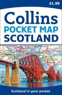
Scotland Pocket Map (Okänt format)
avCollins Maps
ISBN: 9780007541317 - UTGIVEN: 2014-03Handy little full colour map of Scotland. Excellent value and very detailed for its size. Double-sided folded map with the Central Belt, southern Scotland and northern England on one side and northern Scotland including Orkney and Shetland on the reverse.[...]
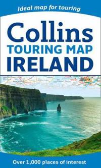
Ireland Touring Map (Karta, falsad.)
avCollins Maps
ISBN: 9780007549689 - UTGIVEN: 2014-03Large full colour map of the whole of Ireland with a special emphasis on places of tourist interest in addition to a detailed road network.[...]
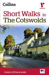
Short Walks in the Cotswolds (Häftad)
avCollins Maps
ISBN: 9780007555000 - UTGIVEN: 2014-04The beautiful Cotswolds, with its rolling hills and pretty little villages, is perfect walking country. Explore this region with these 20 walks, all of which are 5 miles or under in length and can easily be completed in less than 3 hours.[...]
Short Walks in Cornwall (Häftad)
avCollins Maps
ISBN: 9780008101558 - UTGIVEN: 2015-03A practical little walk guide to Cornwall endorsed by the Ramblers. All of the 20 walks are 5 miles or under in length and can easily be completed in less than 3 hours. Clear Ordnance Survey maps show the route, along with easy-to-follow walk descriptions. Cornwall forms the tip of the south-west pe[...]
Four Counties & the Welsh Canals (Spiral)
avCollins Maps
ISBN: 9780008101596 - UTGIVEN: 2015-03The number 1 choice for all users of the inland waterways. This established, popular and practical guide covers the canals and waterways in Wales and to the south of Liverpool. Covered in this guide are: Caldon and Leek Canals, Llangollen Canal, Monmouthshire & Brecon Canal, Neath & Tennant and Swan[...]
Comprehensive Road Atlas Ireland (Spiral)
avCollins Maps
ISBN: 9780008102289 - UTGIVEN: 2015-01Clear, detailed road atlas of Ireland in a handy A4 spiral-bound format. This comprehensive, general purpose road atlas of the whole of Ireland is ideal for both business and pleasure use. The atlas contains a range of mapping scales: * 9 miles to 1 inch route planning map * Main maps at 3.2 miles t[...]
Discovering London Illustrated Map (Karta, falsad.)
avCollins Maps
ISBN: 9780008104559 - UTGIVEN: 2015-02A new edition of London's most original map. This hand-watercoloured map contains individual paintings of all the main sites and landmarks, shop-by-shop street maps, theatres and cinemas, comprehensive travel information and index. This detailed map of Central London is at a scale of 1:8,250 (7.5 in[...]
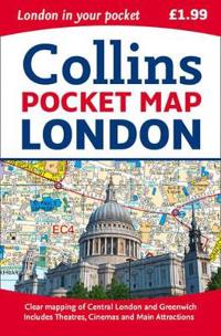
London Pocket Map (Karta, falsad.)
avCollins Maps
ISBN: 9780008104566 - UTGIVEN: 2015-02Handy little full colour map of central London with a high level of detail. Clear mapping of central London from Regent's Park in the north to Kennington in the south, and Kensington Gardens in the west to Tower Bridge in the east at a scale of 1:12,500 (5 inches to 1 mile). Maps of West End shoppin[...]

