AA 30 Walks in Devon (Övrigt)
avAA Publishing
ISBN: 9780749563479 - UTGIVEN: 2010-01Features 30 of the most popular walks in Devon. This title presents walks that are selected to suit various levels of fitness and ability. It includes route directions and maps.[...]
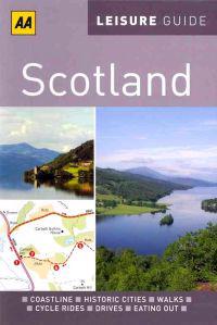
AA Leisure Guide Scotland (Häftad)
avAA Publishing
ISBN: 9780749566937 - UTGIVEN: 201105This fantastic activity guide from the AA tells you the best places to visit in Scotland and includes mapped walks, cycle rides and car tours.[...]
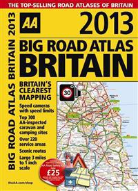
AA Big Road Atlas Britain (Spiral)
avAA Publishing
ISBN: 9780749573478 - UTGIVEN: 201207This best-selling A3 format atlas is available in two binding styles, softback and spiral bound. Each page has been titled with its geographical location so you can turn to the page you need more easily. Fully updated static speed camera locations with speed limits are pinpointed and wide minor road[...]
AA Big Road Atlas Europe (Spiralbunden)
avAA Publishing
ISBN: 9780749573737 - UTGIVEN: 2012-11-16Fully revised and updated for 2013, this specialist A3 road atlas of Europe provides multi-scale mapping of 46 countries. The mapping highlights toll-free motorways, car ferries, mountain passes with caravan suitability and world heritage sites and national parks.[...]
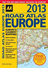
AA Road Atlas Europe (Spiral)
avAA Publishing
ISBN: 9780749573744 - UTGIVEN: 201211Fully revised and updated for 2013, this specialist A4 road atlas of Europe provides multi-scale mapping of 46 countries. There are 33 city plans, and the mapping highlights toll-free motorways, car ferries, mountain passes with caravan suitability and world heritage sites and national parks. Also i[...]
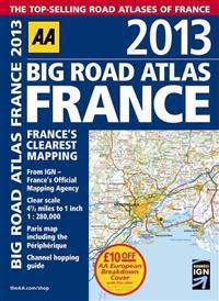
AA Big Road Atlas France (Häftad)
avAA Publishing
ISBN: 9780749573799 - UTGIVEN: 201211Fully revised and updated for 2013, this specialist A3 road atlas designed for the British motorist in France has a scale of 4.5 miles to 1 inch and includes 21 city / town plans. There is also a channel hopping guide including channel tunnel terminal plans and port plans. Coverage includes road map[...]
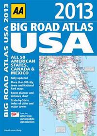
AA Big Road Atlas USA (Häftad)
avAA Publishing
ISBN: 9780749573898 - UTGIVEN: 201301Updated for 2013, this comprehensive atlas covers all 50 american states, Canada and Mexico. Mapping has been produced by the American Automobile Association and there is a large format and clear page design throughout.[...]
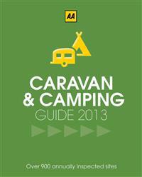
AA Caravan & Camping Britain (Häftad)
avAA Publishing
ISBN: 9780749573959 - UTGIVEN: 201302The UK's best-selling annually updated camping guide, fully revised and updated for 2013. Includes over 900 campsites which have been inspected and rated by the AA's professional inspectors.[...]
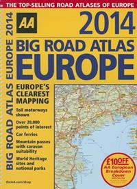
Aa Big Road Atlas Europe (Spiral)
avAA Publishing
ISBN: 9780749575236 - UTGIVEN: 2013-11Fully revised and updated for 2014, this specialist A3 road atlas designed for the British motorist in Europe provides multiscale mapping of 46 countries. The atlas includes information on road distances, car ferries, national parks, towns and other places of interest. Plus, toll-free motorways, mou[...]
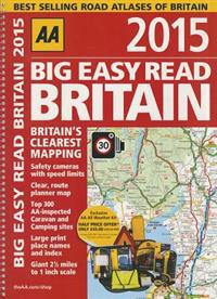
AA Big Easy Read Britain 2015 (Spiral)
avAA Publishing
ISBN: 9780749576035 - UTGIVEN: 2014-07AA Big Easy Read Britain 2015 provides giant scale mapping and type throughout at a scale of 2.5 miles to 1 inch. It is available in two binding styles, softback and spiral bound. Each page has been titled with its geographical location so you can turn to the page you need more easily. Static speed [...]
New York (Karta, falsad.)
avAA Publishing
ISBN: 9780749552398 - UTGIVEN: 2008-02Make the most of your city break with the handy "New York City Map". Highly practical and easy to use, one side contains a map of New York with places of interest marked on it, while comprehensive tourist and transport information, including top sights, shopping, where to eat and drink, ticketing in[...]
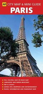
Paris (Karta, falsad.)
avAA Publishing
ISBN: 9780749552404 - UTGIVEN: 200802Make the most of your city break with the handy "Paris City Map". Highly practical and easy to use, one side contains a map of Paris with places of interest marked on it, while comprehensive tourist and transport information, including top sights, shopping, where to eat and drink, ticketing informat[...]
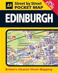
Pocket Map Edinburgh (Karta, falsad.)
avAA Publishing
ISBN: 9780749554361 - UTGIVEN: 2007-12Conveniently sized to carry with you around the city, the map identifies parking garages and one-way streets, public toilets, pubs, hotels, gas stations and public buildings. Fully revised and updated, this map is all you need to keep you on the move in Edinburgh.[...]
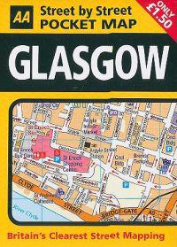
Pocket Map Glasgow (Karta, falsad.)
avAA Publishing
ISBN: 9780749554392 - UTGIVEN: 2007-10Conveniently sized to carry with you around the city, the map identifies parking garages and one-way streets, public toilets, pubs, hotels, gas stations and public buildings. Fully revised and updated, this map is all you need to keep you on the move in Glasgow.[...]
The Cotswolds (Karta)
avAA Publishing
ISBN: 9780749564322 - UTGIVEN: 2010-05This original concept takes the most popular walks from the AA's best-selling and newly updated walks database and packages them on individual laminated cards in a durable box. The small and handy size means that the box can be stowed away in a pocket or handbag and single cards extracted at each wa[...]
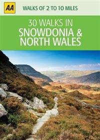
Snowdonia and North Wales (Karta)
avAA Publishing
ISBN: 9780749564476 - UTGIVEN: 201005This original concept takes the most popular walks from the AA's best-selling and newly updated walks database and packages them on individual laminated cards in a durable box. The small and handy size means that the box can be stowed away in a pocket or handbag and single cards extracted at each wa[...]
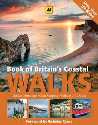
Book of Britain's Coastal Walks (Inbunden)
avAA Publishing
ISBN: 9780749565992 - UTGIVEN: 201008Featuring more than 100 routes from around the shores of England, Wales and Scotland, the Book of Britain's Coastal Walks offers something for everyone. Whether a family on a day out at the seaside, an experienced rambler along coastal paths or just someone wanting to explore a new and fascinating c[...]
South East England (Karta, falsad.)
avAA Publishing
ISBN: 9780749567712 - UTGIVEN: 201104Practical and slimline, fully updated Road Map to the South East England, combining clear design and an easy-to-read scale with more road detail to ensure that you never lose your way. The map includes toll points, service areas, road numbers, motorways, dual carriageways and wide narrow local roads[...]
Italy (Karta, falsad.)
avAA Publishing
ISBN: 9780749568405 - UTGIVEN: 201103Fully updated, this map combines clear design and an easy-to-read scale with more road detail to ensure that you never lose your way. It includes information on toll points, service areas, road numbers, motorways, dual carriageways and wide and narrow local roads. National Parks, ski resorts, visito[...]
Greece (Karta, falsad.)
avAA Publishing
ISBN: 9780749568436 - UTGIVEN: 201103Fully updated, this map combines clear design and an easy-to-read scale with more road detail to ensure that you never lose your way. It includes information on toll points, service areas, road numbers, motorways, dual carriageways and wide and narrow local roads.[...]
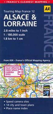
Alsace and Lorraine (Karta, falsad.)
avAA Publishing
ISBN: 9780749568764 - UTGIVEN: 201103Fully updated, this map combines clear design and an easy-to-read scale with more road detail to ensure that you never lose your way. It includes information on toll points, service areas, road numbers, motorways, dual carriageways and wide and narrow local roads. National Parks, ski resorts, visito[...]
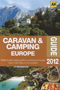
Caravan & Camping Europe 2012 (Häftad)
avAA Publishing
ISBN: 9780749572020 - UTGIVEN: 201202Fully updated for 2012, this best-selling guide features over 3,000 sites in 20 countries, from small sites in quiet locations to large holiday centres. The guide is full of practical information such as opening dates, on-site facilities and prices, and includes legal requirements for motorists in e[...]
Exploring Britain's Country Gardens (Inbunden)
avAA Publishing
ISBN: 9780749572044 - UTGIVEN: 201203'Exploring Britain's Country Gardens' features 85 carefully selected gardens from the length and breadth of Britain. Each entry each illustrated with stunning photography and has a detailed description of the garden, including its history, and practical information such as contact details, opening t[...]
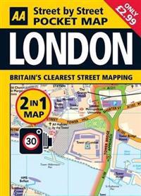
London Pocket Map (Karta, falsad.)
avAA Publishing
ISBN: 9780749572150 - UTGIVEN: 201204London's clearest mapping in a handy, pocket-sized format. Conveniently sized to carry with you around the city, the map includes car parks and one-way streets, public toilets, pubs, hotels, petrol stations and public buildings.[...]
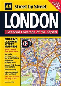
London (Karta, falsad.)
avAA Publishing
ISBN: 9780749572440 - UTGIVEN: 201204This comprehensive street map of London district clearly shows AA recommended restaurants, pubs, hotels, one-way streets and car parks. Keeping you on the move in the city the map also features a clever use of colour to ensure it can be read under street lighting.[...]

