National Geographic Kids National Parks Guide USA Centennial Edition: The Most Amazing Sights, Scenes, and Cool Activities from Coast to Coast! (häftad)
ISBN: 9781426323140 - UTGIVEN: 2016-02Happy 100th Birthday, National Parks Join the centennial celebration by reading all about these greatest of American treasures -- from Acadia to Zion -- in preparation for a parks visit sometime soon. Filled with color photos, information on animals, fascinating lists, fun facts, maps, cool things [...]
National Geographic Kids National Parks Guide USA Centennial Edition: The Most Amazing Sights, Scenes, and Cool Activities from Coast to Coast!
ISBN: 9781426323157 - UTGIVEN: 2016-02Happy 100th Birthday, National Parks Join the centennial celebration by reading all about these greatest of American treasures -- from Acadia to Zion -- in preparation for a parks visit sometime soon. Filled with color photos, information on animals, fascinating lists, fun facts, maps, cool things [...]
Best Easy Day Hiking Guide and National Geographic Trail Map Bundle - Glacier and Waterton National Parks
ISBN: 9781493008452 - UTGIVEN: 2014-04With hikes in Glacier and Waterton varying from half-hour strolls to full-day adventures, this guidebook is for everyone, including families.[...]
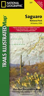
National Geographic Trails Illustrated Map Saguaro National Park
ISBN: 9781566952408 - UTGIVEN: 2008-01National Geographic's Trails Illustrated Maps are the most detailed and up-to-date topographic recreation maps available for US National Parks, National Forests and other popular outdoor recreation areas. A necessity for exploring the outdoors, each map is printed on waterproof, tear-resistant mater[...]
National Geographic Trails Illustrated Map Big Bend National Park
ISBN: 9781566952897 - UTGIVEN: 2009-01This Trails Illustrated topographic map is the most comprehensive recreational map for Big Bend National Park, which sits along the border of Texas and Mexico. The map includes Big Bend National Park, Portions of Big Bend Ranch State Park, Black Gap Wildlife Management Area, the Chisos Mountains, Si[...]
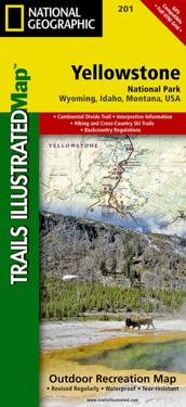
National Geographic Trails Illustrated Map Yellowstone National Park
ISBN: 9781566952958 - UTGIVEN: 2008-01Trails Illustrated topographic maps are the most detailed and up-to-date recreation maps available for these national parks, national forests and popular outdoor recreation areas. Detailed and accurate coverage for Yellowstone National Park, this map includes a detailed road network and popular trai[...]
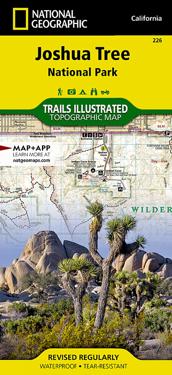
National Geographic Trails Illustrated Map Joshua Tree National Park
ISBN: 9781566953009 - UTGIVEN: 2005-01National Geographic's Trails Illustrated Maps are the most detailed and up-to-date topographic recreation maps available for US National Parks, National Forests and other popular outdoor recreation areas. A necessity for exploring the outdoors, each map is printed on waterproof, tear-resistant mater[...]
National Geographic Trails Illustrated Map Redwood National and State Parks
ISBN: 9781566953191 - UTGIVEN: 2004-01National Geographic's Trails Illustrated Maps are the most detailed and up-to-date topographic recreation maps available for US National Parks, National Forests and other popular outdoor recreation areas. A necessity for exploring the outdoors, each map is printed on waterproof, tear-resistant mater[...]
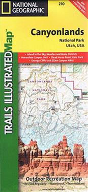
National Geographic Trails Illustrated Map Canyonlands National Park
ISBN: 9781566953269 - UTGIVEN: 2008-01National Geographic's Trails Illustrated Maps are the most detailed and up-to-date topographic recreation maps available for US National Parks, National Forests and other popular outdoor recreation areas. A necessity for exploring the outdoors, each map is printed on waterproof, tear-resistant mater[...]
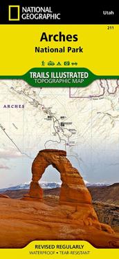
National Geographic Trails Illustrated Map Arches National Park Utah, USA
ISBN: 9781566953276 - UTGIVEN: 2005-01National Geographic's Trails Illustrated Maps are the most detailed and up-to-date topographic recreation maps available for US National Parks, National Forests and other popular outdoor recreation areas. A necessity for exploring the outdoors, each map is printed on waterproof, tear-resistant mater[...]
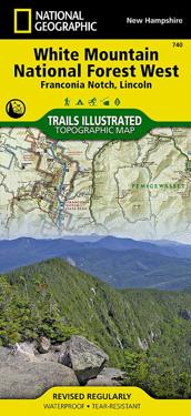
National Geographic Trails Illustrated Topographic Map White Mountains National Forest West Franconia Notch, Lincoln, New Hampshire
ISBN: 9781566954655 - UTGIVEN: 2011-01National Geographic's Trails Illustrated Maps are the most detailed and up-to-date topographic recreation maps available for US National Parks, National Forests and other popular outdoor recreation areas. A necessity for exploring the outdoors, each map is printed on waterproof, tear-resistant mater[...]
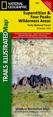
National Geographic Trails Illustrated Map Superstition & Four Peaks Wilderness Areas, Tonto National Forest
ISBN: 9781566954853 - UTGIVEN: 2009-01National Geographic's Trails Illustrated Maps are the most detailed and up-to-date topographic recreation maps available for US National Parks, National Forests and other popular outdoor recreation areas. A necessity for exploring the outdoors, each map is printed on waterproof, tear-resistant mater[...]
National Geographic Trails Illustrated Map Flagstaff / Sedona, Coconino & Kaibab National Forests
ISBN: 9781566955157 - UTGIVEN: 2010-01National Geographic's Trails Illustrated Maps are the most detailed and up-to-date topographic recreation maps available for US National Parks, National Forests and other popular outdoor recreation areas. A necessity for exploring the outdoors, each map is printed on waterproof, tear-resistant mater[...]
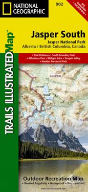
National Geographic Jasper South Jasper National Park Map
ISBN: 9781566956604 - UTGIVEN: 2012-01The front side of the Jasper South map details the east side of the national park, from Whitehorse Wildland Provincial Park to the north, to White Goat Wilderness Area to the south. The reverse side of the map details the west side of the park, extending from Cummins Lakes Provincial Park to the sou[...]
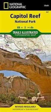
National Geographic Capitol Reef National Park Map
ISBN: 9781566956703 - UTGIVEN: 2013-01National Geographic's Trails Illustrated Maps are the most detailed and up-to-date topographic recreation maps available for US National Parks, National Forests and other popular outdoor recreation areas. A necessity for exploring the outdoors, each map is printed on waterproof, tear-resistant mater[...]
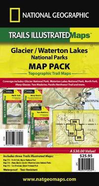
National Geographic Glacier and Waterton Lakes National Parks Map Pack Bundle
ISBN: 9781597753999 - UTGIVEN: 2001-01National Geographic's Trails Illustrated Maps are the most detailed and up-to-date topographic recreation maps available for US National Parks, National Forests and other popular outdoor recreation areas. A necessity for exploring the outdoors, each map is printed on waterproof, tear-resistant mater[...]
Bringing the Rain to Kapiti Plain (Häftad)
avVerna Aardema, National Geographic Learning
ISBN: 9780140546163 - UTGIVEN: 1992-05Reading National Geographic
ISBN: 9780226497242 - UTGIVEN: 1993-09For its millions of readers, the National Geographic has long been a window to the world of exotic peoples and places. In this fascinating account of an American institution, Catherine A. Lutz and Jane L. Collins explore the possibility that the magazine, in purporting to teach us about distant cult[...]
Texts and Lessons for Content-Area Writing: With More Than 50 Texts from National Geographic, the New York Times, Prevention, the Washington Post, Smi (häftad)
ISBN: 9780325077673 - UTGIVEN: 2016-04- Over 50 reproducible mentor texts that demonstrate the moves of skillful nonfiction writers
- 36 ready to use content-literacy lessons designed to engage students in close reading, quick writing, and lively discussion
- More than 100 options for meaningful, content-focused extended writin[...]Frontiers in Nature-Based Tourism (Häftad)
avRob Waring, National Geographic
ISBN: 9780415828215 - UTGIVEN: 201212Nature has been a key attraction factor for tourism in the Nordic countries for decades. The demand for nature-based tourism has steadily grown and is one of the most rapidly expanding sectors within tourism across Europe and elsewhere. This demand has created opportunities for nature-based tourism [...]
To the Top! Climbing the World's Highest Mountain (Häftad)
avSydelle A. Kramer, S. a. Kramer, National Geographic Learning
ISBN: 9780679838852 - UTGIVEN: 2010-06To The Top Climbing The World's Highest Mountain
The World Executive, Mural Flat (Karta)
avNational Geographic Maps
ISBN: 9780792230342 - UTGIVEN: 2004-02"National Geographic" Visual History of the World (Inbunden)
ISBN: 9780792236955 - UTGIVEN: 200511The world history book to define all others, "National Geographic Visual History of the World" is a classic in the making. No other volume offers such a comprehensive and richly illustrated chronicle of world events, from the construction of the Pyramids to the overthrow of the Taliban. Readers see [...]
"National Geographic" Complete Birds of North America (Häftad)
avJonathan K. Alderfer
ISBN: 9780792241751 - UTGIVEN: 2005-11Essential, comprehensive, and easy to use, "National Geographic Complete Book of Birds" is an astonishing resource that covers every bird species in North America, as well as all the migrants that fly through. The entries are organized by family groups-an incredible 82 are included-according to the [...]
National Geographic Traveler Piedmont & Northwest Italy
ISBN: 9780792241980 - UTGIVEN: 2005-11"National Geographic Traveler Piedmont & Northwest Italy" begins its tour of the region with an evocative visit to the beautiful baroque city of Turin, site of the 2006 Winter Olympics. It then heads to southern Piedmont with its lush, rolling, vine-covered landscapes, including a stop in the mediev[...]

