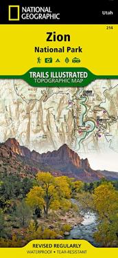
Zion National Park (Karta, falsad.)
avNational Geographic Maps
ISBN: 9781566952972 - UTGIVEN: 200501National Geographic's Trails Illustrated Maps are the most detailed and up-to-date topographic recreation maps available for US National Parks, National Forests and other popular outdoor recreation areas. A necessity for exploring the outdoors, each map is printed on waterproof, tear-resistant mater[...]
Death Valley National Park (Övrigt)
avNational Geographic Maps
ISBN: 9781566953214 - UTGIVEN: 2006-01-01This Trails Illustrated topographic map for Death Valley National Park, which straddles the state lines of eastern California and western Nevada, is the perfect recreational map for this dramatic park, which encompasses the hottest, driest, and lowest places in the US. Within its three million acres[...]
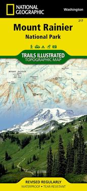
Mount Rainier National Park (Karta, falsad.)
avNational Geographic Maps
ISBN: 9781566953450 - UTGIVEN: 2003-01National Geographic's Trails Illustrated Maps are the most detailed and up-to-date topographic recreation maps available for US National Parks, National Forests and other popular outdoor recreation areas. A necessity for exploring the outdoors, each map is printed on waterproof, tear-resistant mater[...]
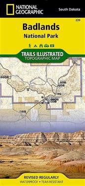
Badlands National Park (Karta, falsad.)
avNational Geographic Maps
ISBN: 9781566954082 - UTGIVEN: 201208National Geographic's Trails Illustrated Maps are the most detailed and up-to-date topographic recreation maps available for US National Parks, National Forests and other popular outdoor recreation areas. A necessity for exploring the outdoors, each map is printed on waterproof, tear-resistant mater[...]
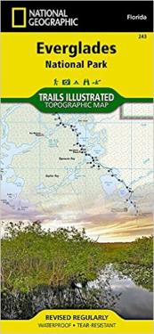
Everglades National Park (Karta, falsad.)
avNational Geographic Maps
ISBN: 9781566954099 - UTGIVEN: 199901National Geographic's Trails Illustrated Maps are the most detailed and up-to-date topographic recreation maps available for US National Parks, National Forests and other popular outdoor recreation areas. A necessity for exploring the outdoors, each map is printed on waterproof, tear-resistant mater[...]
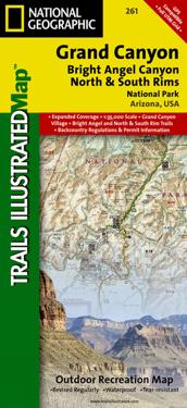
Grand Canyon National Park (Karta, falsad.)
avNational Geographic Maps
ISBN: 9781566954952 - UTGIVEN: 2010-01National Geographic's Trails Illustrated Maps are the most detailed and up-to-date topographic recreation maps available for US National Parks, National Forests and other popular outdoor recreation areas. A necessity for exploring the outdoors, each map is printed on waterproof, tear-resistant mater[...]
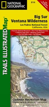
Big Sur/Ventana Wilderness - Los Padres National Forest (Karta, falsad.)
avNational Geographic Maps
ISBN: 9781566955782 - UTGIVEN: 2012-08National Geographic's Trails Illustrated Maps are the most detailed and up-to-date topographic recreation maps available for US National Parks, National Forests and other popular outdoor recreation areas. A necessity for exploring the outdoors, each map is printed on waterproof, tear-resistant mater[...]
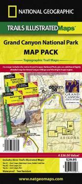
Grand Canyon National Park, Map Pack Bundle (Karta, falsad.)
avNational Geographic Maps
ISBN: 9781597753364 - UTGIVEN: 2012-08National Geographic's Trails Illustrated Maps are the most detailed and up-to-date topographic recreation maps available for US National Parks, National Forests and other popular outdoor recreation areas. A necessity for exploring the outdoors, each map is printed on waterproof, tear-resistant mater[...]
Yellowstone/Grand Teton National Parks, Map Pack Bundle (Karta, falsad.)
avNational Geographic Maps
ISBN: 9781597754002 - UTGIVEN: 201208National Geographic's Trails Illustrated Maps are the most detailed and up-to-date topographic recreation maps available for US National Parks, National Forests and other popular outdoor recreation areas. A necessity for exploring the outdoors, each map is printed on waterproof, tear-resistant mater[...]
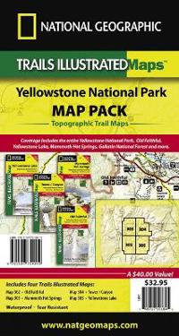
Yellowstone National Park, Map Pack Bundle (Karta, falsad.)
avNational Geographic Maps
ISBN: 9781597754019 - UTGIVEN: 2012-08National Geographic's Trails Illustrated Maps are the most detailed and up-to-date topographic recreation maps available for US National Parks, National Forests and other popular outdoor recreation areas. A necessity for exploring the outdoors, each map is printed on waterproof, tear-resistant mater[...]
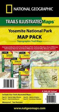
Yosemite National Park, Map Pack Bundle (Karta, falsad.)
avNational Geographic Maps
ISBN: 9781597754064 - UTGIVEN: 2012-08National Geographic's Trails Illustrated Maps are the most detailed and up-to-date topographic recreation maps available for US National Parks, National Forests and other popular outdoor recreation areas. A necessity for exploring the outdoors, each map is printed on waterproof, tear-resistant mater[...]
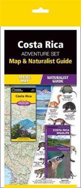
Costa Rica Adventure Set (Pocket)
avNational Geographic Maps (COR), Waterford Press (COR), National Geographic Maps (COR)
ISBN: 9781583559079 - UTGIVEN: 2015-04Costa Rica Adventure Set consists of a Pocket Naturalist Guide and National Geographic Map, offering a perfect resource for travelers wanting hands on information on what to see and where to go to find some of the world's most dramatic natural attractions. Waterford's COSTA RICA WILDLIFE is the perf[...]
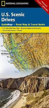
U.S. Scenic Drives (Karta, falsad.)
avRand McNally, National Geographic Maps, National Geographic Maps
ISBN: 9781597750264 - UTGIVEN: 200601While GPS is handy for navigating unfamiliar cities, there is nothing better than a printed map for simplicity, perspective and fun on road trips. National Geographic's State Guide Maps are the perfect combination of detailed map and travel guide. Each map contains scenic drives, parks and recreatio[...]
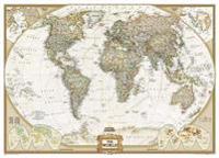
The World Executive, Mural Flat (Karta)
avNational Geographic Maps
ISBN: 9780792230342 - UTGIVEN: 2004-02South America (Karta, rullad.)
avNational Geographic Maps
ISBN: 9780792281078 - UTGIVEN: 2007-09National Geographic Wall Maps offer a special glimpse into current and historical events, and they inform about the world and environment. Offered in a variety of styles and formats, these maps are excellent reference tools and a perfect addition to any home, business or school. There are a variety [...]
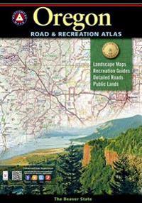
Benchmark Oregon Road & Recreation Atlas (Pocket)
avNational Geographic Maps (COR)
ISBN: 9780929591629 - UTGIVEN: 2010-01Benchmark Arizona Road & Recreation Atlas (Häftad)
avNational Geographic Maps
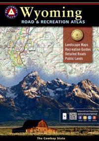
ISBN: 9780929591902 - UTGIVEN: 2013-11Benchmark Wyoming Road & Recreation Atlas, 2nd Edition (Häftad)
avNational Geographic Maps
ISBN: 9780929591995 - UTGIVEN: 2014-09Wyoming is the heart of the American West. Experience the wild spirit of Wyoming with Benchmark''s Wyoming Road & Recreation Atlas. No other map product can better portray Wyoming''s rugged, sky-scraping peaks, or the vast openness where the deer and the antelope really do play Benchmark''s field-c[...]
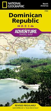
Dominican Republic (Karta, falsad.)
avNational Geographic Maps
ISBN: 9781566952347 - UTGIVEN: 200701AdventureMaps provide global travellers with the perfect combination of detail and perspective, highlighting hundreds of points of interest and the diverse and unique destinations within the country. Each map is printed on durable synthetic paper, making them waterproof and tear-resistant. They also[...]
Panama (Övrigt)
avNational Geographic Maps
ISBN: 9781566952606 - UTGIVEN: 2007-01-01Famous for its canal, there is so much more. From a vibrant capital city to rain forests teeming with biodiversity, from paradisiacal beaches to mountains laced with rushing rivers, Panama offers a wide array of adventures that derive from and respect its natural and cultural heritage. Additional De[...]
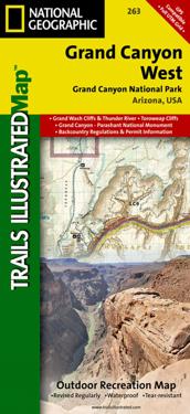
Grand Canyon West (Karta, falsad.)
avNational Geographic Maps
ISBN: 9781566954969 - UTGIVEN: 2009-01National Geographic's Trails Illustrated Maps are the most detailed and up-to-date topographic recreation maps available for US National Parks, National Forests and other popular outdoor recreation areas. A necessity for exploring the outdoors, each map is printed on waterproof, tear-resistant mater[...]
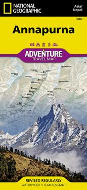
Annapurna-Nepal (Karta, falsad.)
avNational Geographic Maps
ISBN: 9781566955218 - UTGIVEN: 200001Scale : 1:135,000 Flat Size : 965 x 660 mm.
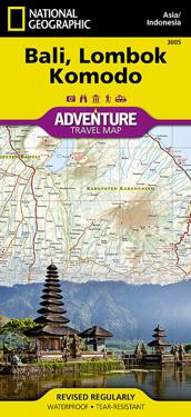
Bali, Lombok, and Komodo (Karta, falsad.)
avNational Geographic Maps
ISBN: 9781566955256 - UTGIVEN: 2012-07AdventureMaps provide global travellers with the perfect combination of detail and perspective, highlighting hundreds of points of interest and the diverse and unique destinations within the country. Each map is printed on durable synthetic paper, making them waterproof and tear-resistant. They also[...]

