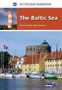
The Baltic Sea: Germany, Denmark, Sweden, Finland, Russia, Poland, Kaliningrad, Lithuania, Latvia, Estonia (Inbunden)
avLaurie & Wilson, Ltd. Imray
ISBN: 9781846231872 - UTGIVEN: 201005The 9 countries bordering the Baltic Sea offer a huge variety of cruising grounds, people and cultures. The info contained in this book is therefore selective. It has been chosen for its value both at the planning stages - preparing the yacht, choosing the best route, timing, communications etc - an[...]

Imray Chart M47 (karta, falsad.)
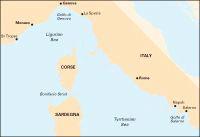
ISBN: 9781846233265 - UTGIVEN: 2010-12Plans: Approaches to Lipari Bocche di Vulcano.

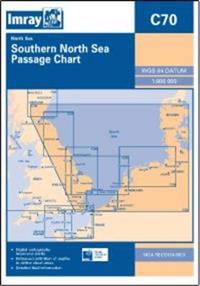
Imray Chart C70 (karta, falsad.)
ISBN: 9781846235665 - UTGIVEN: 2013-08The 2013 edition of this chart has been fully modernised and updated throughout. Full details of the various new and improved routeing measures off the coast of the Netherlands are included.[...]

Imray Chart Pack 2500 (Okänt format)
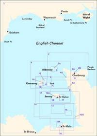
ISBN: 9781846236129 - UTGIVEN: 2014-03A pack of 15 charts covering the Channel Islands in detail. The pack includes:
Imray Chart C12 (karta, falsad.)
ISBN: 9781846236136 - UTGIVEN: 2014-05Inset of Dover Strait. Includes radiobeacons, lightstides.
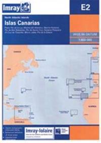
Imray Chart E2 (karta, falsad.)
ISBN: 9781846236198 - UTGIVEN: 2014-07Plans included: Puerto de Santo Cruz Puerto de la Estaca Puerto de San Sebastian Marina del Atlantico Darsena Pesquera (Marina Tenerife) Morro Jable Marina Rubicon Puerto del Rosario Puerto de las Palmas[...]
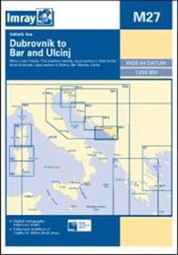
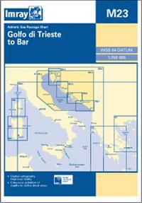
Imray Chart M27 (karta, falsad.)
ISBN: 9781846236440 - UTGIVEN: 2014-09Plans included: Luka Polaee (1:35 000) The Elaphite Islands (1:90 000) Approaches to Dubrovnik (1:50 000) Boka Kotorska (1:100 000) Approaches to Budva (1:75 000) Bar Marina (1:50 000) Ulcinj (1:10 000) For this 2014 edition the chart has been fully updated throughout using revised depth data where[...]

Imray Chart Pack 2510 (häftad)
ISBN: 9781846236556 - UTGIVEN: 2015-06A brand new pack for North Brittanty, consisting of 7 double-sided sheets covering the coast from St-Malo to Rade de Brest. The pack consists of the following: 1. The Channel Islands, Cherbourg Peninsula & North Brittany (1:550 000) 2. Approaches to St-Malo & St-Cast (1:120 000) 3. Cap Frehel to [...]
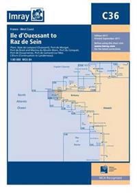
Imray Chart C36 (karta, falsad.)
ISBN: 9781846236600 - UTGIVEN: 2015-01Plans included: Baie de Lampaul (Ouessant) (1:30 000) Port du Conquet (1:20 000) Port de Brest & Marina du Moulin Blanc (1:30 000) Marina du Moulin Blanc (1:9000) Port de Camaret-sur-Mer (1:12 500) Port de Morgat (1:15 000) Port de Douarnenez (1:15 000) L'Elorn (Continuation to Landerneau) (1:80 00[...]
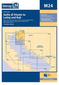
Imray Chart M24 (karta, falsad.)
ISBN: 9781846236624 - UTGIVEN: 2015-01Plans included: Rovinj (1:15 000) Brijuni Otoci to Pula (1:85 000) Veruda to Medulin Bay (1:85 000) Approaches to Punat (1:20 000) Approaches to Mali Losinj (1:40 000) Otok Ilovik Channel (1:20 000) For this 2014 edition the chart has been fully updated throughout. The Otok Ilovik Channel sketch pl[...]
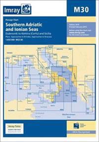
Imray Chart M30 (häftad)
ISBN: 9781846236860 - UTGIVEN: 2015-03Plans included: Approaches to Brindisi (1:35 000) Approaches to Siracusa (1:50 000) For this 2015 edition, the amended TSS at Brindisi is now shown along with revised depths.[...]
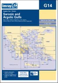
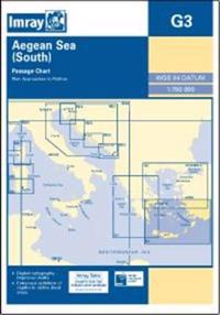
Imray Chart G14 (häftad)
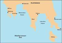
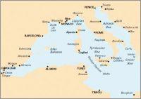
ISBN: 9781846236877 - UTGIVEN: 2015-03Plans included: Marina Alimos (Kalamaki) (1:12 500) Stenon Metopis (1:30 000) Limin Poros (1:25 000) Nisidhes Tselevinia (1:50 000) Stenon Spetsai (1:40 000) Navplion (1:20 000)[...]