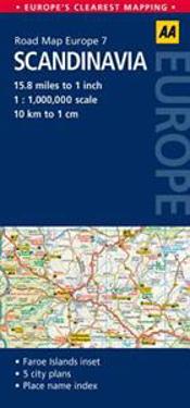
AA Road Map Scandinavia (Pocket)
avAutomobile Association (Great Britain)
ISBN: 9780749575359 - UTGIVEN: 2014-04Europe's clearest mapping from the experts at the AA. Fully updated, the map combines clear design and an easy-to-read scale with more road detail to ensure that you never lose your way. The map includes information on toll points, service areas, road numbers, motorways, dual carriageways and local [...]
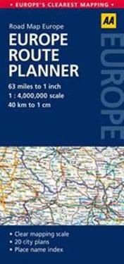
AA Road Map Europe Europe Route Planner (Pocket)
avAutomobile Association (Great Britain)
ISBN: 9780749575380 - UTGIVEN: 2014-04Europe's clearest mapping from the experts at the AA. Fully updated, the map combines clear design and an easy-to-read scale with more road detail to ensure that you never lose your way. The map includes information on toll points, service areas, road numbers, motorways, dual carriageways and local [...]
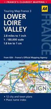
AA Touring Map France Lower Loire Valley (Pocket)
avAutomobile Association (Great Britain)
ISBN: 9780749575472 - UTGIVEN: 2014-04Produced in association with IGN - France's national mapping agency, this slimline, durable map has been fully updated, combining clear design and an easy-to-read scale with more road detail to ensure that you never lose your way. The map also includes information on toll points, service areas, ro[...]
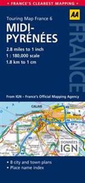
AA Touring Map France Midi-Pyrenees (Pocket)
avAutomobile Association (Great Britain)
ISBN: 9780749575502 - UTGIVEN: 2014-04Produced in association with IGN - France's national mapping agency, this slimline, durable map has been fully updated, combining clear design and an easy-to-read scale with more road detail to ensure that you never lose your way. The map also includes information on toll points, service areas, ro[...]
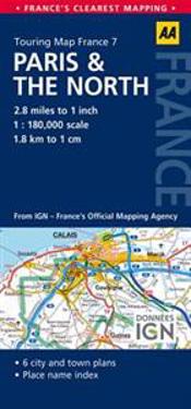
AA Touring Map France Paris & the North (Pocket)
avAutomobile Association (Great Britain)
ISBN: 9780749575519 - UTGIVEN: 2014-04Produced in association with IGN - France's national mapping agency, this slimline, durable map has been fully updated, combining clear design and an easy-to-read scale with more road detail to ensure that you never lose your way. The map also includes information on toll points, service areas, ro[...]
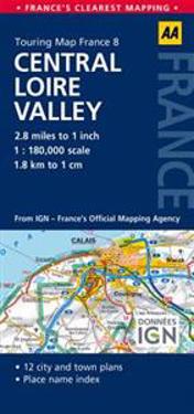
AA Touring Map France Central Loire Valley (Pocket)
avAutomobile Association (Great Britain)
ISBN: 9780749575526 - UTGIVEN: 2014-04Produced in association with IGN - France's national mapping agency, this slimline, durable map has been fully updated, combining clear design and an easy-to-read scale with more road detail to ensure that you never lose your way. The map also includes information on toll points, service areas, ro[...]
AA Touring Map France Languedoc-Roussillon (Pocket)
avAutomobile Association (Great Britain)
ISBN: 9780749575540 - UTGIVEN: 2014-04Produced in association with IGN - France's national mapping agency, this slimline, durable map has been fully updated, combining clear design and an easy-to-read scale with more road detail to ensure that you never lose your way. The map also includes information on toll points, service areas, ro[...]
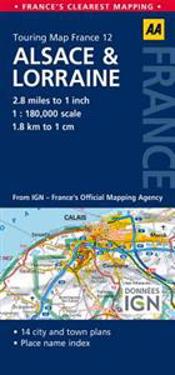
AA Touring Road Map France Alsace & Lorraine (Pocket)
avAutomobile Association (Great Britain)
ISBN: 9780749575564 - UTGIVEN: 2014-04Produced in association with IGN - France's national mapping agency, this slimline, durable map has been fully updated, combining clear design and an easy-to-read scale with more road detail to ensure that you never lose your way. The map also includes information on toll points, service areas, ro[...]
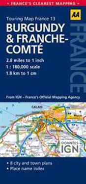
AA Touring Map France Burgundy & Franche-Comte (Pocket)
avAutomobile Association (Great Britain)
ISBN: 9780749575571 - UTGIVEN: 2014-04Produced in association with IGN - France's national mapping agency, this slimline, durable map has been fully updated, combining clear design and an easy-to-read scale with more road detail to ensure that you never lose your way. The map also includes information on toll points, service areas, ro[...]
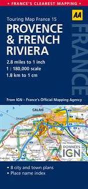
AA Touring Map France Provence & French Riviera (Pocket)
avAutomobile Association (Great Britain)
ISBN: 9780749575595 - UTGIVEN: 2014-04Produced in association with IGN - France's national mapping agency, this slimline, durable map has been fully updated, combining clear design and an easy-to-read scale with more road detail to ensure that you never lose your way. The map also includes information on toll points, service areas, ro[...]
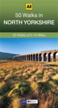
50 Walks in North Yorkshire (Pocket)
avAutomobile Association (Great Britain)
ISBN: 9780749575717 - UTGIVEN: 2014-06Walking is one of Britain's favourite leisure activities, and this guide to North Yorkshire features 50 mapped walks from two to ten miles, to suit all abilities. The book highlights all the practical detail you need, accompanied by fascinating background reading on the history and wildlife of the a[...]
50 Walks in Shropshire (Pocket)
avAutomobile Association (Great Britain)
ISBN: 9780749575724 - UTGIVEN: 2014-06Walking is one of Britain's favourite leisure activities, and this guide to Shropshire features mapped walks of two to ten miles to suit all abilities. The book features all the practical detail you need, accompanied by fascinating background reading on the history and wildlife of the area, and clea[...]
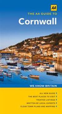
The AA Guide to Cornwall (Pocket)
avAutomobile Association (Great Britain)
ISBN: 9780749575946 - UTGIVEN: 2014-10The stereotypical image of Cornwall is captivating enough: craggy cliffs, smugglers' coves and surfers hanging ten offshore. But peek behind the nautical bunting and popular tourist resorts and you'll discover the real Cornwall - a compelling land of myth, legend, dramatic scenery and rich culture[...]
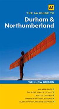
Aa Guide to Durham & Northumberland (Pocket)
avAutomobile Association (Great Britain)
ISBN: 9780749575960 - UTGIVEN: 2014-07The northeast is one of England's quirkiest, most characterful regions. If it's history you're looking for, you'll find heaps of it. If it's fresh air, there are both 'England's Last Wilderness' and some of Britain's best beaches to enjoy. If it's the latest art or culture, then Gateshead's BALTIC C[...]
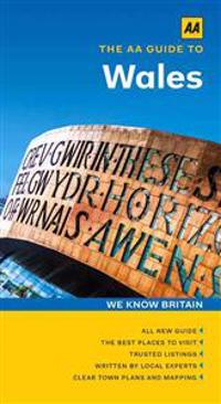
The AA Guide to Wales (Pocket)
avAutomobile Association (Great Britain)
ISBN: 9780749576004 - UTGIVEN: 2014-10Wales is a nation with every conceivable holiday attraction you could wish for. Even if you spent a year trying, you wouldn't see half of its castles or dolmens. Yet for all its remarkable history, this is a country that always looks forward, embracing re-invention while maintaining its original cha[...]
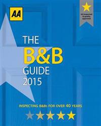
The B&b 2015 Guide (Pocket)
avAutomobile Association (Great Britain)
ISBN: 9780749576196 - UTGIVEN: 2014-12This guide gives up-to-date information on over 3000 AA inspected guest houses, farmhouses and inns in England, Ireland, Wales, and Scotland. All price ranges are covered, and all establishments are regularly inspected.[...]
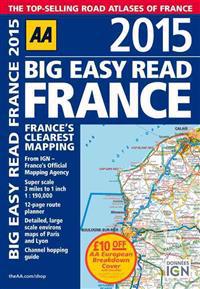
Big Easy Read France 2015 (Pocket)
avAutomobile Association (Great Britain)
ISBN: 9780749576653 - UTGIVEN: 2015-02Fully revised and updated for 2015, this specialist easy-to-read, A3 road atlas designed for the British motorist in France includes 44 city, town and port plans central Paris city plan and district maps of Paris and Lyon. Coverage includes road mapping for Corsica plus there is a channel hopping gu[...]
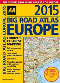
Big Road Atlas Europe 2015 (Pocket)
avAutomobile Association (Great Britain)
ISBN: 9780749576660 - UTGIVEN: 2015-03Fully revised and updated for 2015, this specialist A3 road atlas designed for the British motorist in Europe includes information on road distances, car ferries, national parks, towns and other places of interest. Features include: toll-free motorways shown, car ferries, mountain passes with carav[...]
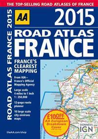
Road Atlas France 2015 (Pocket)
avAutomobile Association (Great Britain)
ISBN: 9780749576714 - UTGIVEN: 2015-03Fully revised and updated for 2015, this specialist A4 road atlas designed for the British motorist in France includes 32 city centre plans to help you find your way in and around busy centres. There is also a 12-page route planner, 10 large scale city environs maps and over 18,500 tourist sites sho[...]
Caravan & Camping Guide 2015 (Pocket)
avAutomobile Association (Great Britain)
ISBN: 9780749576721 - UTGIVEN: 2015-02The AA have been inspecting and rating campsites since the 1960s. The 2015 edition of this best-selling guide features 900 annually inspected campsites, from five Pennant premier parks to budget options. The new Gold Pennant rating highlights Britain's very best sites and the AA Campsite of the Year[...]
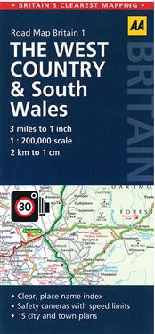
West Country & Wales Road Map (Pocket)
avAutomobile Association (Great Britain)
ISBN: 9780749577100 - UTGIVEN: 2015-10Britain's clearest mapping from the experts at the AA, in a handy foldable road map covering the West Country & Wales. Fully updated, the map combines clear design and an easy-to-read scale of 3 miles to 1 inch, with more road detail to ensure you never lose your way while navigating Britain's roads[...]

