karta, falsad.
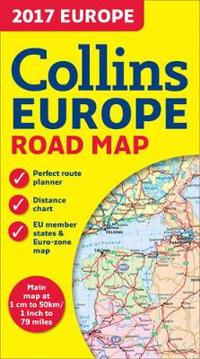
2017 Collins Map of Europe
Beskrivning:
Annually revised, politically coloured road map of Europe at a scale of 79 miles to 1 inch / 50km to 1cm (1: 5,000,000). Roads, motorways, European Route numbers, railways, airports, cities and towns are clearly shown, making the map ideal for route-finding and planning. AREA OF COVERAGE Covers the [...]
Visa längre beskrivning
Fakta
- ISBN:
- 9780008203597
- Bandtyp:
- karta, falsad.
- Utgiven:
- 2016-12
- Språk:
- Engelska

