Jämför priser
karta, falsad.
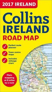
2017 Collins Map of Ireland
Beskrivning:
Full colour map of Ireland at 9 miles to 1 inch (1:570,240), with clear, detailed road network and counties and new administrative areas shown in colour. This double-sided map covers the whole of Ireland, and is ideal for reference or route planning.
Fakta
- ISBN:
- 9780008158606
- Bandtyp:
- karta, falsad.
- Utgiven:
- 2016-06
- Språk:
- Engelska
Produkten finns inte i någon butik
Obs! Glöm inte att alltid kolla priset hos återförsäljaren!